The SPWLA Permian Basin Chapter
Technical Lunch and Learn
Tuesday, May 28, 2024 at 11:30 - 1:00 PM CST
Bush Convention Center
Downstairs Meeting Rooms
In-Person and Virtual Options
Register Here
“Challenges and Questions in Log Analysis of Permian Basin Reservoirs”
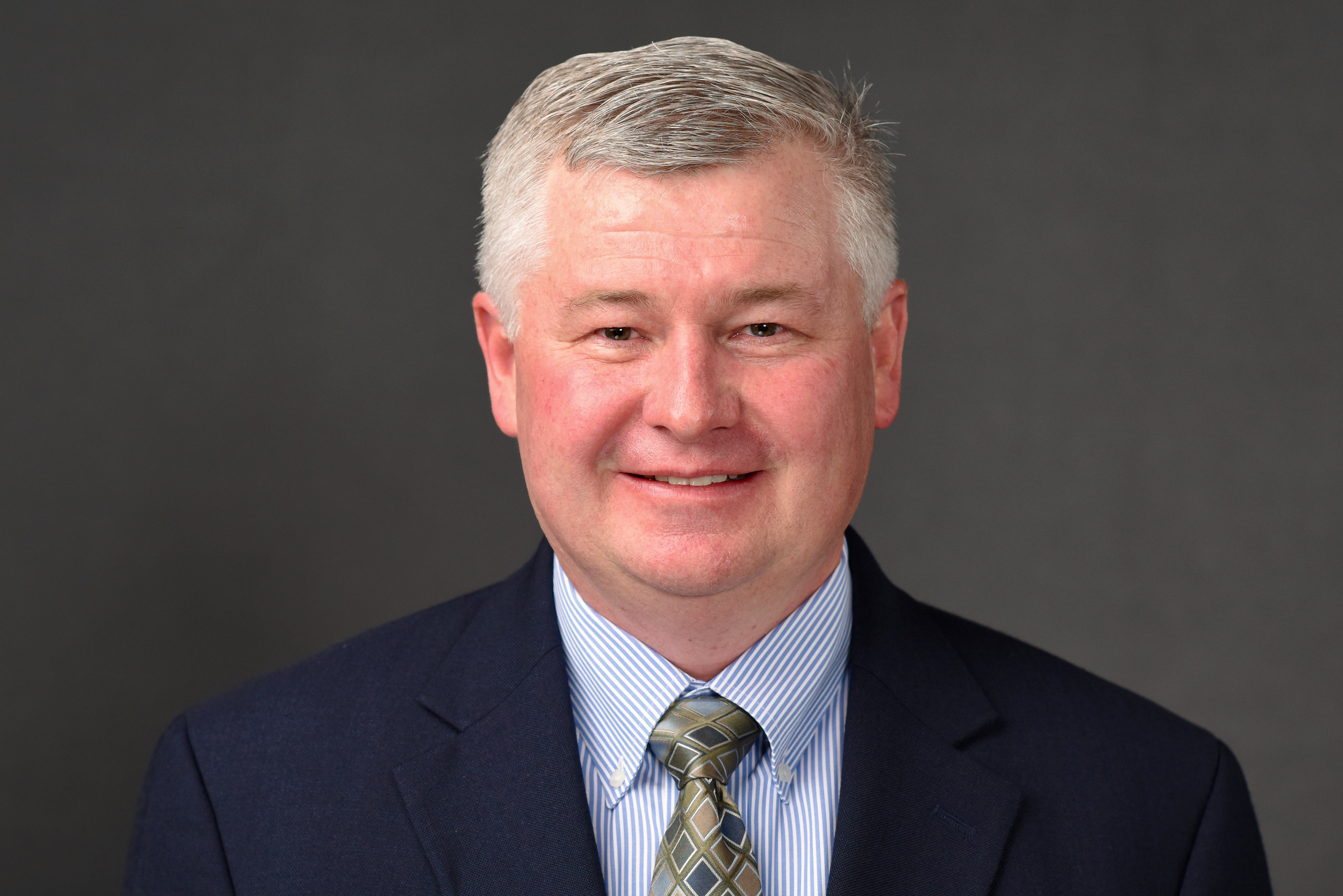
By: Stonnie Pollock, Fasken Oil and Ranch, Ltd
Abstract:
Oil and gas reservoirs in the Permian Basin pose challenges in petrophysical analysis. Traditional qualitative techniques still aid in the evaluation of both conventional and unconventional rock. New methods and software provide a variety of interpretations, but the accuracy of these solutions is often suspect.
Borehole environments in unconventional rocks continue to challenge good hydrocarbon show analysis and open-hole log acquisition. Log responses in unconventional mud rocks are often subtle or difficult to understand. There are ongoing challenges to accurate log analysis, for example in the Spraberry, which consists of very thin interbedded mixed lithologies. Even with newer applications with advanced tools like imagers, NMR, and advanced sonic measurements, unconventional reservoirs prove difficult to find solutions reasonable solutions.
This paper illustrates examples of conventional and unconventional rocks with old logs and newer logs, together with qualitative and some quantitative interpretations. Some analyses provide solutions, yet many interpretations continue to generate more doubts on key values, such are effective porosity and movable hydrocarbons.
Speakers Biographies:
Stonnie Pollock was born and raised in southern Utah. He earned a BS in Geology and Spanish from Southern Utah University in 1997. In 1999 he completed a MS in Geology from New Mexico State University. His Master’s Thesis focused on tectonics and sedimentation of nonmarine Cretaceous rocks of the Cordilleran Foreland Basin. In 1999 he worked as a field geologist doing outcrop reservoir characterization of fluvial rocks in southeastern Utah. From 2000 to 2003 he worked as a development geologist for Texaco and Chevron in Midland, TX. From 2003 to present he has worked for Fasken Oil and Ranch in Midland TX as an exploration and development geologist, focusing on the Permian Basin with additional experience in south Texas and the Rockies. Currently, he is the Exploration Manager for Fasken.
We are always grateful to our sponsors who help us with our efforts to continue technical luncheons, networking socials, and our educational efforts. If your company would like to donate to our cause, please contact us at PermianBasin at spwla.org.

Permian Basin Chapter of the SPWLA
Next Meeting: August 27, 2024
Monthly Meetings: 4th Tuesday of Most Months
More Information: PermianBasin at spwla.org
President: Veronica Montoya
Vice President of Technology: Chris Smith
Communications: Kate La Fleur
Secretary: Jennifer Reeves
Treasurer: Sebastian Ramiro-Ramirez